Part Eight-On the trail from Abingdon to Damascus
August 21 2024
I’ll never be a creative writer, so don’t expect essay in the caliber of the naturalist Henry David Thoreau but Ill do my best to tell you what I saw along the trail and try to make it interesting.
 |
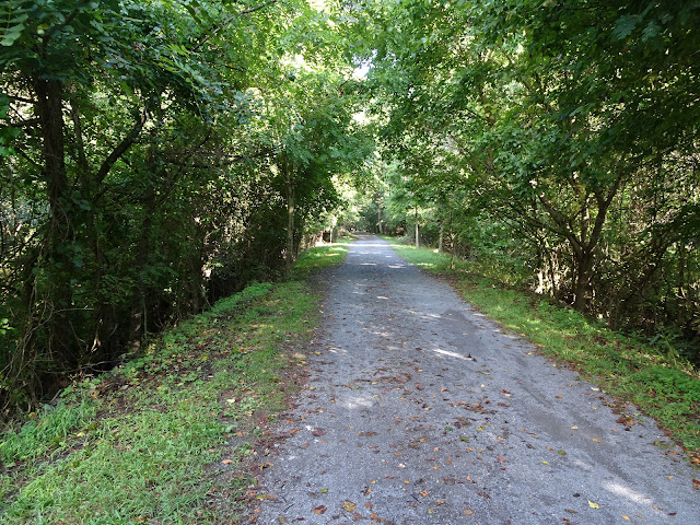
| Typical trail on the Abingdon end |
The several miles are under a living canopy, almost a tunnel thru the avenue of trees. Being an old railroad bed the trail is flat and straight. The base is crushed cinders for most of the journey, with occasional dirt paths or wooden decking on the 20 bridges I would cross.
 |
| First of many bridges. |
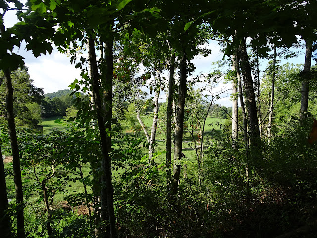
Every so often I would get a glimpse of the countryside through openings in the thicket of vegetation on the sides of the trail. The country is rolling hills, sometimes with fences and pasture for cows, sometimes beautiful fields of grass usually leading your eye to an expensive home on the slope of the hills. At about one and a half miles there is a road crossing the trail, on both sides there are estate sized lots and impressive homes. This is a golf course community so there is all that greenery intermingled with the homes of wealthy Virginians.
About three miles down the old road bed the terrain opens up and passes through working farm property There are several gates across the trail but most were left open, the exception being the passage through a farm yard where you had to open and close two gates to keep the livestock where they are supposed to be. There were several country road crossings in this area, one had a small parking lot for folks accessing the trail here.
It was in this farm country where I crossed several large bridges that kept the track level as it traversed the valleys in the fields. The Middle fork of the Holston River made its appearance in this area and it would be an almost constant companion as the trail followed along side it.
 |
| Holston River |
The largest bridge crossing is right at the junction of the Middle Fork and the South Fork of the Holston. From this junction it passes under the bridge and becomes a navigable waterway. It meanders south into Tennessee where it becomes the South Holston Lake.
Now following the South Fork of the river the trail soon passes Alvarado station, an old railroad stop from the trains bygone era. It is now a rest stop along the river with rest rooms and a few private homes.
 |
After Alvarado there are many sections where the railroad bed was carved from the rock that lined the riverbank. It continues to follow the river, sometimes in forest and sometimes open ground, but never as pretty as the beginning of the trail back in Abingdon.
When you see the route 58 bridges looming overhead you know the party’s about over. The trail runs for another couple miles, the river on one side and highway 58 on the other. The environment becomes more urban with homes on the river and businesses on the highway.
 |
| Highway 58 |
 |
| Damascus the center of the trail |
You know you are on the outskirts of Damascus, but when you see the red caboose in the park, you know you have reached the halfway point of the trail. Only the strongest of athletes will be biking much further in this direction. From Damascus the trail climbs 1600 feet in seventeen miles terminating at the summit of White top mountain, the second highest point in Virginia (3500 feet).
I would continue pedaling for some portion of a mile crossing two more bridges before leaving the creeper and going down a side street in town to the Damascus Creek RV Park.
 |
| Our spot at Damascus Creekside RV Park |


.jpg)

No comments:
Post a Comment